[AD] Do you need to know the elevation of a piece of land or its topographical features for development? If so, you'll likely need to conduct a contour survey. Contour surveys are indispensable for anyone planning any kind of construction project — from installing bridges and pipelines to building new homes — as it helps give an accurate picture of the site's shapes, elevations and lay of the land. In this blog post, we'll explore what exactly a contour survey is and how it can benefit you in your land development process. Keep reading to learn more!
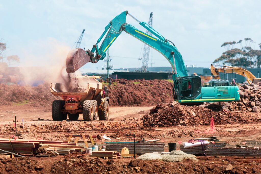
[Photo by Troy Mortier on Unsplash]
What is a contour survey?
A contour survey, also known as topographic surveying, is a type of survey that seeks to accurately represent the elevation changes and physical features of a certain area. This kind of survey involves taking detailed field measurements of the area and creating either a contour map or 3-dimensional model depending on the goal. All the relevant points are then connected with straight lines to form clearly defined shapes called contours – hence why this method of surveying is called 'contour surveying.' Measuring the amount of change in relief over small distances may help provide information and insight on slopes, hydrology and other considerations when it comes to building or managing land around various geographic areas.
How is a contour survey important for land development
Contour surveys are a critical component of land development. By measuring the elevation of the land and creating maps that reflect its topography, this type of survey provides valuable information to those involved in any changes that can be made across a given area. Not only do these surveys enable engineers to plan for drainage systems and other infrastructure changes, but contour surveying also helps individuals create terrains suitable for new buildings by accurately predicting how adjacent land will be altered or affected. It’s essentially like a hands-on map used to visualize complicated changes when making decisions concerning land development. Without it, our development efforts would be significantly hindered since virtually all projects require these data sets in order to accurately construct plans.
Who should conduct a contour survey
When it comes to surveying a property, who you bring on board to conduct the work is just as important as why you're having the survey done in the first place. Since it involves precise measurements and a close examination of the land, it's wise to choose someone with experience and knowledge about contour surveys specifically. A professional surveyor with an understanding of both federal and state regulations should be your primary choice for a dependable artisan capable of handling such a task. They'll be able to properly map out the ground level along with other features that can be gleaned from modern GPS technologies. In the end, the results of a well-executed contour survey will speak for themselves.
A contour survey provides critical information that is necessary for the planning and design of any land development project. This type of survey is also important for ensuring compliance with local regulations. If you are looking for the most reliable contour surveyors Sydney has to offer then you'll want to make sure you pick a team that is both experienced and professional. They should have experience working on a wide range of development projects, both big and small.